HROUS
ALTA/NSPS Survey Proposals for US Commercial Buyers: Compare Scope, Table A Items and Certification Under the 2026 Standards
Compare ALTA/NSPS survey proposals against the same written checklist: minimum-standard work, agreed optional Table A items, title documents, certification and priced deliverables. ALTA’s standards cover required fieldwork, plat or map preparation, Table A optional items, certification and deliverables.[1]
Start with the applicable standard
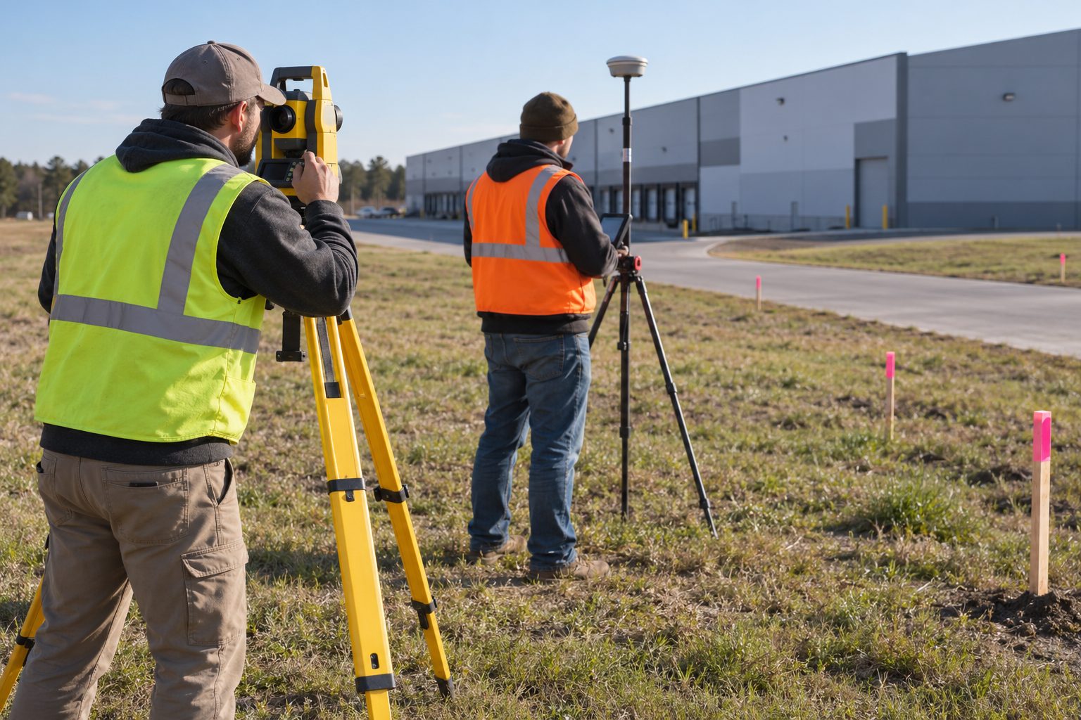
The 2026 Minimum Standard Detail Requirements for ALTA/NSPS Land Title Surveys took effect on February 23, 2026, and update the 2021 standards of the same name.[1][2] ALTA describes them as the minimum requirements that title insurers, lenders, clients and surveyors use to evaluate survey-related title matters.[1]
Put the standards edition and the expected start date of fieldwork in the written scope. If a proposal still references the 2021 edition, ask the surveyor to explain why before you authorize the work.
Know what changed in 2026
A summary by the law firm Poyner Spruill lists these changes to the minimum requirements:[2]
- The client no longer has to supply record descriptions of adjoining properties; the surveyor now obtains them, mostly from local registries, to show gaps and overlaps in boundary lines.
- The client must still supply recorded instruments that establish easements benefiting the property, and those easements are to be shown where possible, even outside the boundary.
- Evidence of physical access must be reported when observed during fieldwork, rather than only when visible.
- Evidence of possession or occupation along the perimeter and by adjoining properties must be reported regardless of distance from the boundary.
- Where applicable, the survey must note statements by landowners or occupants about title or boundary issues.
- If requested, certification may be extended to the lender’s successors and assigns.
The same summary describes Table A changes: clients may coordinate private utility locate requests (item 11(b)), surveyors may use digital imagery with client consent for features other than the boundary (item 15), a new item 20 summarizes observed potential encroachments in a table on the plat without stating a legal opinion, and a blank item 21 is available for other agreed work.[2]
Assign the title-document handoff
Because the 2026 standard still requires the client to supply easement documents, name a coordinator who obtains the current title commitment and the recorded documents behind its exceptions, sends the same set to every bidding surveyor and logs the versions supplied.[2]
Ask each proposal to identify:
- Documents received and documents still missing.
- Which records the surveyor will obtain itself, such as adjoining-property descriptions.
- How later title updates will be handled and whether they change the price.
- How relevant commitment exceptions will be addressed on the survey.
Agree Table A scope and site questions
Collect the lender’s and title insurer’s requested Table A items, then add the buyer’s own questions. Ask the surveyor to sort each request into minimum-standard work, a selected Table A item or separately negotiated work.[1][2]
For each requested item, record:
- Request: what question needs answering, and who asked for it.
- Surveyor response: minimum-standard work, a Table A item number, or item 21 extra work.
- Quote inclusion: included, excluded or awaiting clarification.
If the buyer wants the new encroachment table, list item 20 explicitly. Setback encroachments appear in that table only when the setback requirements were supplied to the surveyor or appear in recorded documents, so decide who will provide zoning setback information.[2]
A survey reports physical conditions; it does not decide legal rights. Route questions about possible unrecorded claims or encroachments to the title insurer and your attorney.[2]
Confirm certification recipients
Collect the proposed certification recipients from the buyer, lender and title insurer before engagement. If the lender wants certification extended to its successors and assigns, request it in writing, because the 2026 standard makes that extension available on request.[2]
Ask the surveyor to confirm the names and wording, who approves later changes, and whether changes affect price or delivery. Certification to a party does not by itself remove a title policy exception; the title insurer decides that.
Compare two survey providers on a common scope
Blew and Point to Point both publish ALTA survey services. Their pages establish available capabilities, not a binding scope, fee or completion date for your property.[4][5] Send both the same title documents, property details, Table A list and certification recipients.
Blew: nationwide project coordination and related survey services
- Service and coverage: Blew advertises ALTA/NSPS surveys and project support across the country, with related title research, GIS, aerial mapping and LiDAR capabilities.[4] Ask which office and state-licensed surveyor will handle your parcel; national marketing does not identify the responsible professional.
- Standards and extras: Its ALTA page names the 2026 standards.[4] Have the proposal separate minimum work from selected Table A items and any additional mapping or research; the service list does not make every extra part of the base fee.
- Commercial comparison: Obtain a property-specific fee, fieldwork and delivery dates, revision allowance and travel charges. The page invites a quote rather than supplying a comparable fixed package.[4]
Point to Point: commercial ALTA surveys in listed states
- Service and coverage: Point to Point describes licensed-surveyor fieldwork combined with record research for commercial ALTA surveys. Its page lists states including Georgia, Florida, Texas, Colorado and New Jersey; confirm that it accepts work at your exact property.[5]
- Standards and extras: The service description covers improvements, easements, road access and possible encroachments, but still uses the older ALTA/ACSM terminology.[5] Require an explicit 2026 ALTA/NSPS scope and agreed Table A items rather than treating that wording as confirmation of current compliance.
- Commercial comparison: Request the same itemised fee, milestones, revision allowance and named certification recipients as from Blew. No property-specific price or guaranteed turnaround is established by the cited service page.[5]
Blew’s published breadth makes it a candidate for a portfolio needing coordinated survey and mapping work; Point to Point is a candidate where its listed footprint matches the transaction. These are shortlisting considerations, not evidence that either is better. Decide using the responsible surveyor’s state licence, the accepted 2026 scope and the written commercial terms.
Compare two written scope options
Use these as quote-request templates, not existing provider packages.
Transaction-required scope
- Optional scope: the Table A items the lender and title insurer require, alongside the minimum standards.[1]
- Deliverables and certification: the agreed plat or map and the agreed recipients.
- Price and revisions: quote required.
Transaction-required scope plus agreed extras
- Optional scope: the same scope plus separately listed additions, such as item 20 or item 21 work.[2]
- Deliverables and certification: the same recipients, with additional outputs listed separately.
- Price and revisions: quote required, with the price of each extra shown.
Choose according to documented transaction needs. Before authorizing an extra, ask what question it answers and who requested it.
What to confirm with each provider
- Deliverables: the plat or map, file formats, signed or sealed copies and recipients.
- Revisions: included changes, what triggers extra charges, and how updated title documents or new recipients are handled.
- Schedule: dated milestones for fieldwork, draft, review and final delivery, and their dependence on documents and site access.
- Contract: fee, deposit, payment timing and cancellation terms.
Verify the surveyor’s license and authorize the scope
Check the responsible surveyor’s license with the board in the property’s state. In California, for example, the Board for Professional Engineers, Land Surveyors, and Geologists offers a public license lookup. A “Clear” status means the license is current and valid, but the board notes that complaints or disciplinary actions may still be part of the license history and not all enforcement information is online.[3] The board also states that it does not license businesses, so look up the individual surveyor, not the firm.[3]
Before authorizing work, check the written scope for:
- Standards edition and expected fieldwork start date.
- Property identification and the title-document set.
- Agreed Table A items and any item 21 work.
- Certification recipients and deliverables.
- Fee, revision and change terms.
- Delivery milestones and the responsible licensed surveyor.
Circulate the scope to the buyer, lender, title insurer and surveyor for confirmation, then compare the resulting commitments rather than headline fees.
References
- ALTA/NSPS Land Title Survey Standards | ALTA (alta.org, 2026)
- Key Updates: 2026 ALTA/NSPS Land Title Survey Standards | Poyner Spruill (poynerspruill.com)
- License Lookup | California BPELSG (ca.gov)
- ALTA/NSPS Land Title Surveys | Blew (blew.com)
- ALTA Land Title Surveys | Point to Point Surveyors (pointtopointsurvey.com)